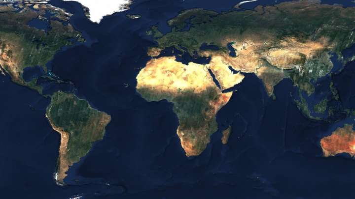
The European Space Agency (ESA) has taken care of a very interesting feat. A pair of its satellites, called Sentinel-2, have been scanning the surface of planet Earth for several months, and the result is stunning. This is a huge photograph that captures the entire globe, and is made up of more than 80 trillion pixels. You can find the original blog here.
You might be interested in
You can view the image in its original resolution here. At maxAt a minimum zoom out, you can see how the overall image was assembled, as individual imaging bands are visible. The authors are the Sentinel-2A and Sentinel-2B satellites, which were launched on June 23, 2015, and March 7, 2017, respectively. Both operate in orbit at an altitude of less than 800 kilometers above the Earth's surface. The raw data was then assembled by the Australian company EOX.
You might be interested in

The goal of the entire project was to map the surface of the Earth with as few clouds as possible so that as many objects on the ground as possible could be seen. This is precisely why it took so long to take the pictures, as the conditions were not always suitable when the satellite flew over its target position. Photographs from the Northern Hemisphere were taken between May and September 2016, and from the Southern Hemisphere between November 2016 and March 2017. The tropical regions were photographed the longest, their mapping lasted from May 2016 to April this year.
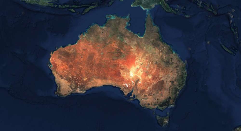
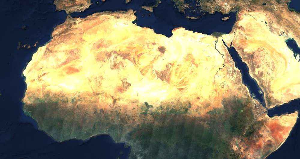
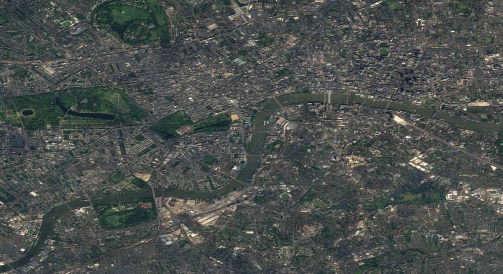
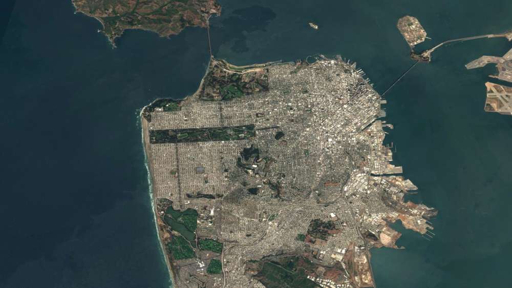
Approximately 250TB of data was used to completely map the Earth's surface. Perhaps more interesting is how many TB of data were deemed "unusable." You can see a few of the extracted photos below, and the original image can be found here.
Gallery
Source: IFLScience