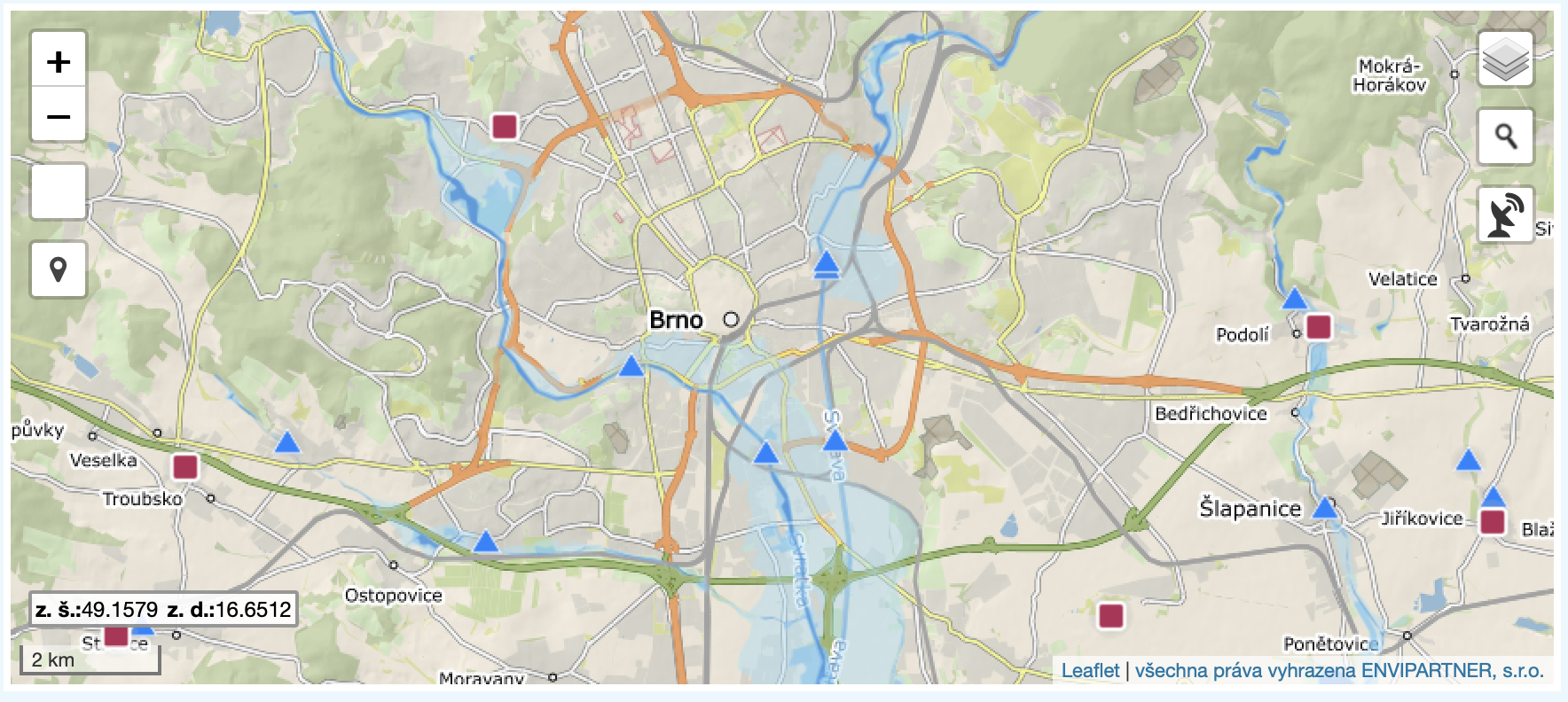
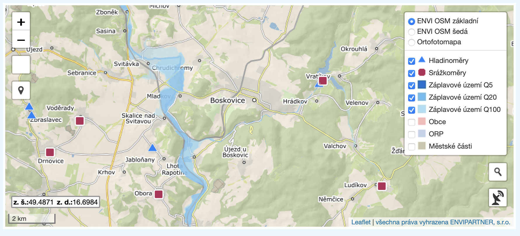
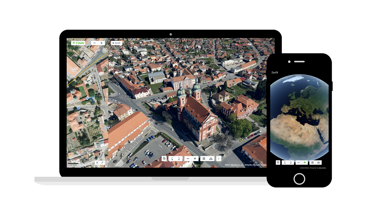
Flood maps, or inundation maps if you prefer, are of interest to almost everyone, given the extreme rains that are expected to hit most of the Czech Republic in the coming days. Water managers, rescue services, and individual municipalities have been preparing for the floods for many days. miniand ordinary people. And flood maps can show in advance where flooding is likely and where it could ultimately occur in the worst-case scenarios. It is therefore not a bad idea to study them and know what could happen thanks to them.
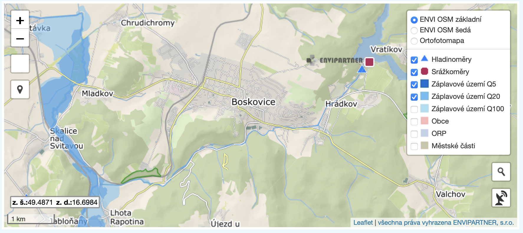
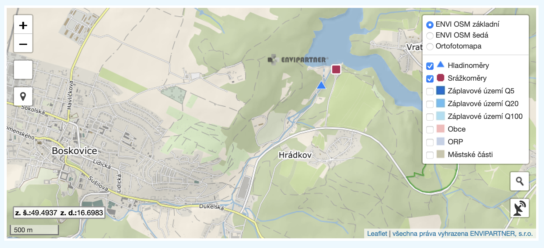
Fortunately, the Electronic Digital Flood Portal has been operating for many years, on which you can find a map with the option to "click" on it filters showing the range of five-year water, twenty-year water and hundred-year water - in other words, flood areas according to the extent of flooding of the area. In addition to the filter options, the map also shows information from the dams - specifically, the height of their levels together with the flow rate. Thanks to this, very good questions can be asked about how the dams are filled. With regard to the following days, we recommend that you take a look at the flood maps so that you have the best possible overview of your surroundings. And the main thing - please take care of yourself these days.