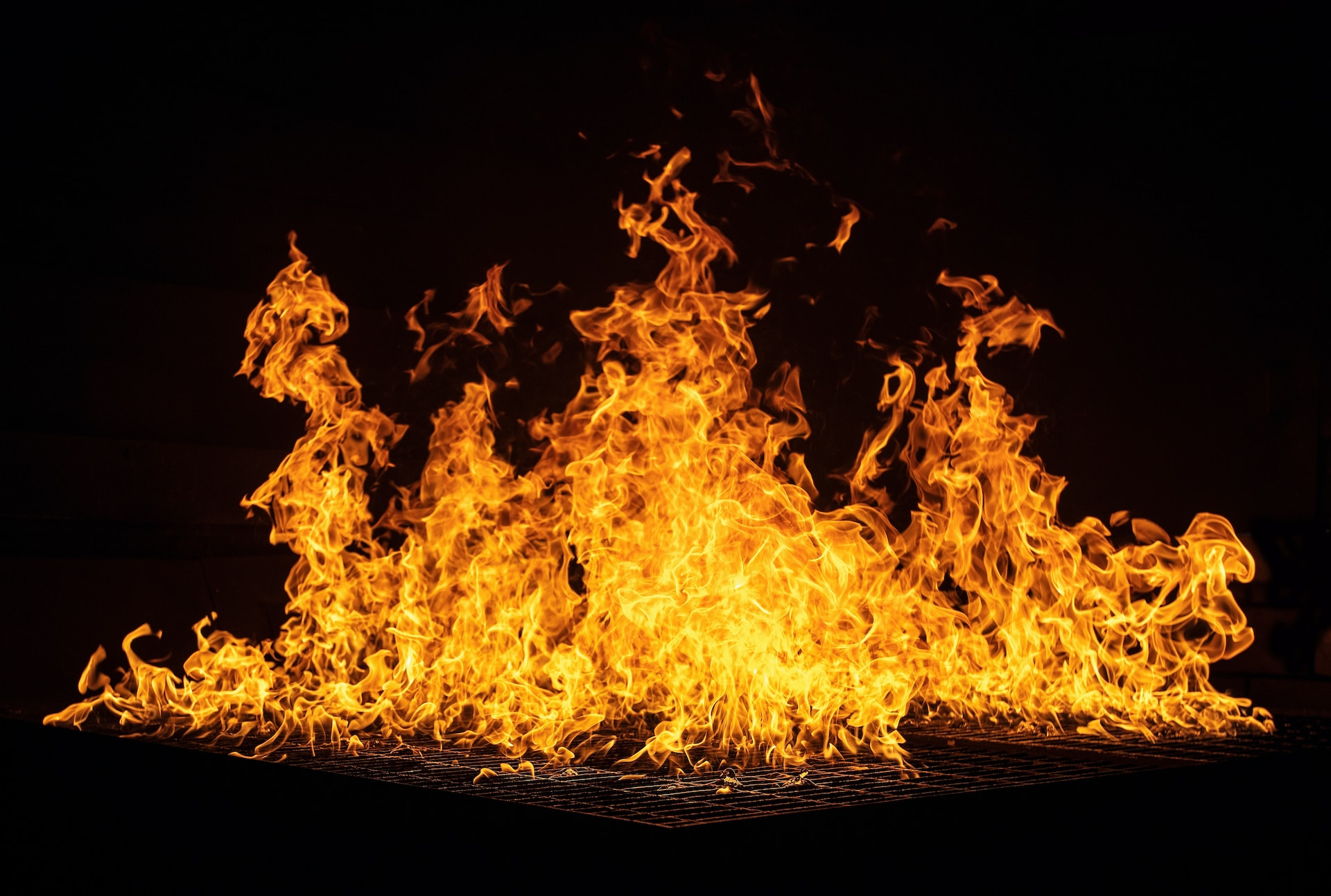
Some regions of the Czech Republic have issued fire bans due to the severe drought that has prevailed in recent days due to high temperatures. The risk of their spreading is also relatively high due to the influence of the wind, which can reach up to 70 km/h in some places. But how to find out where the risk of starting a fire is actually higher and where, on the contrary, it is acceptable? The answer is the Windy application, in which there is a layer showing the danger of fire in (not only) the Czech Republic.
You might be interested in
How to view a potential fire spread layer in Windy
- Turn on the application Windy
- Run it Menu in the lower right corner. It is symbolized by three white horizontal stripes in a red circle.
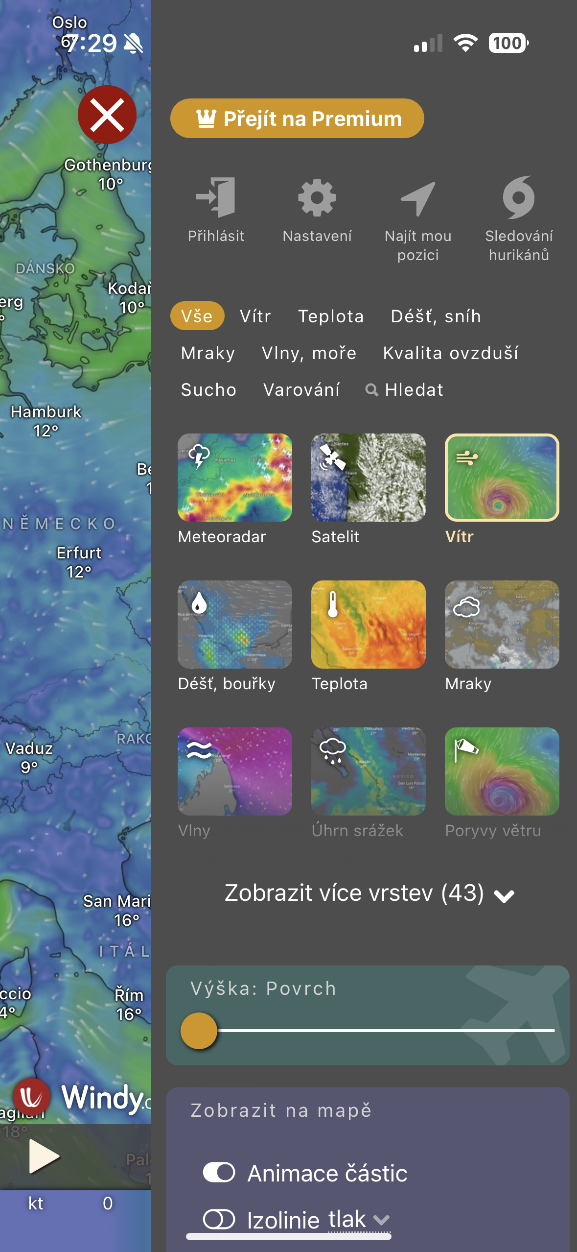
- You will see a comprehensive menu headed by layers. Choose an option here Show more layers (43), to expand additional layers for you.
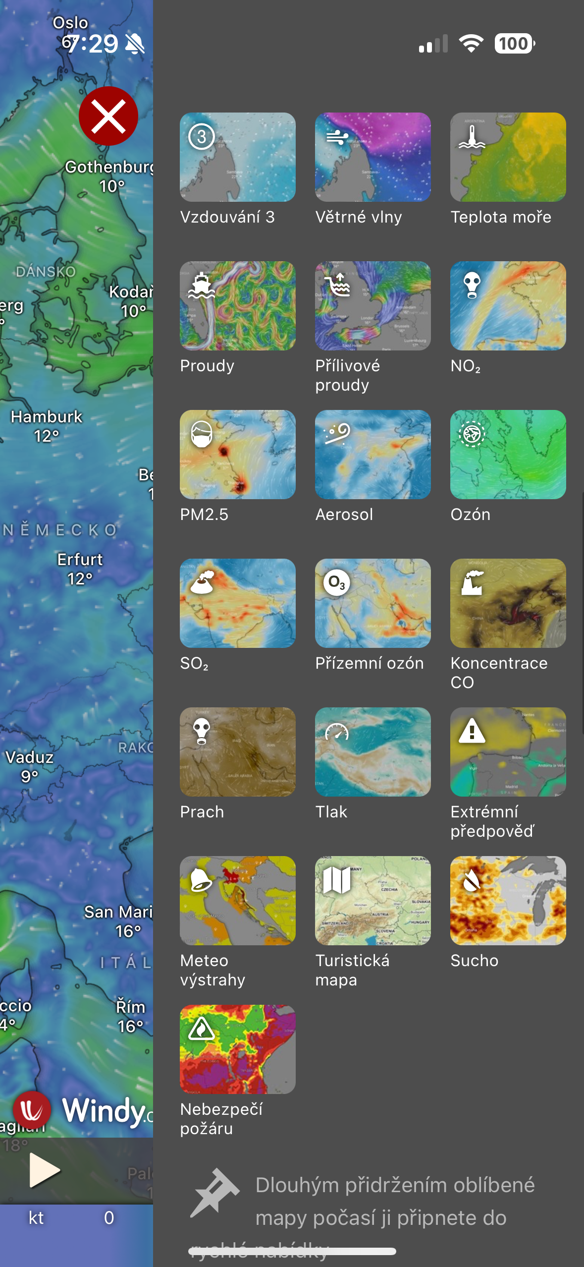
- Scroll all the way to the endonec the layers menu, where you will find a layer named Fire hazard. Run here.
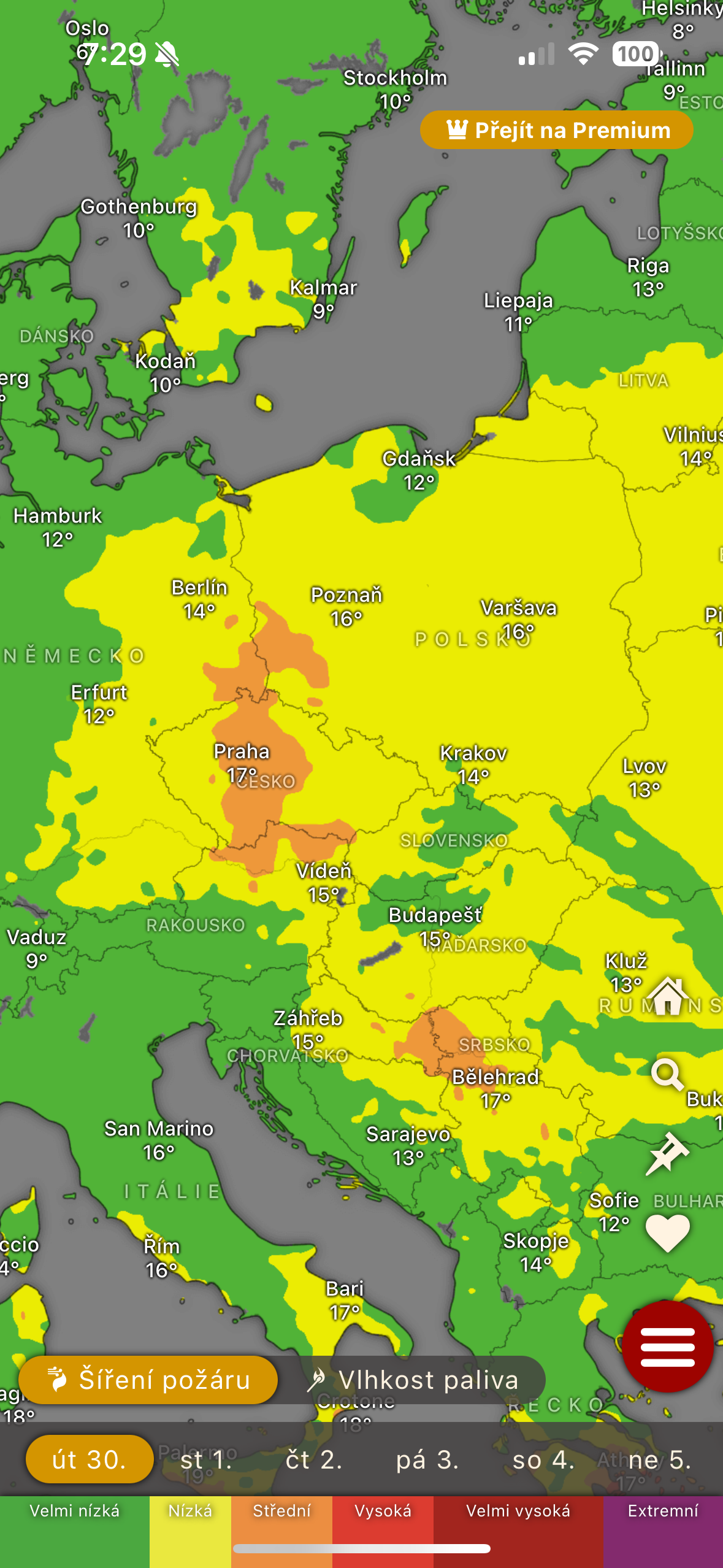
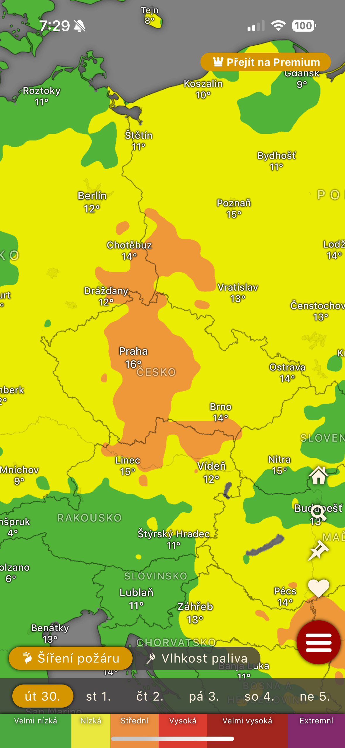
- Once you do so, the map will switch to a layer showing the risk of fire spreading. You can then switch it to the fuel moisture layer, and in both cases you will see how dry your surroundings are and what the risk is.
Gallery
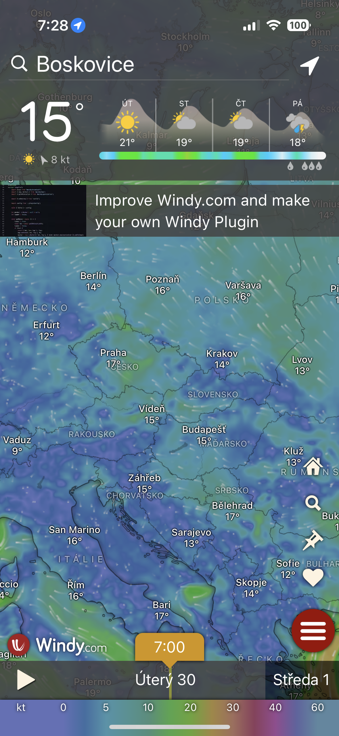


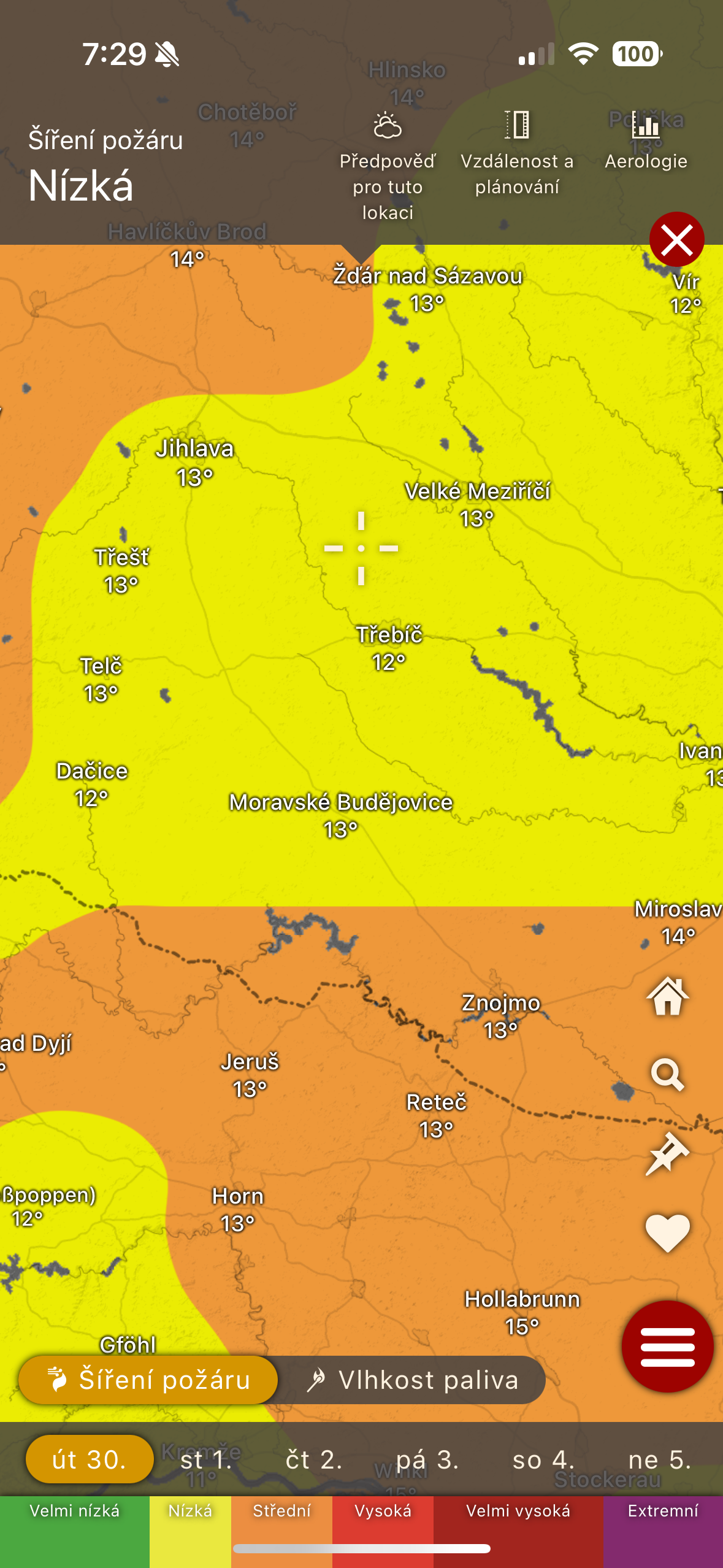
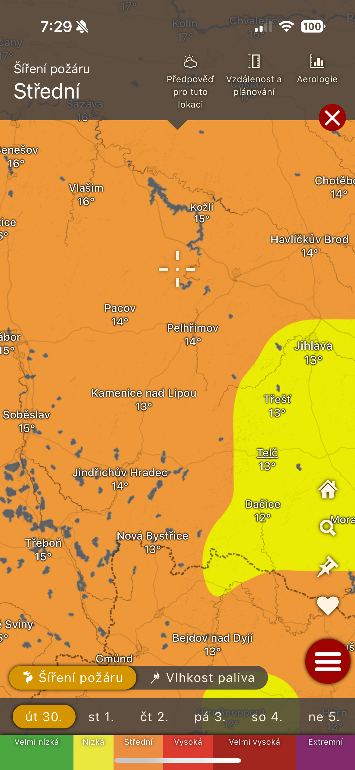
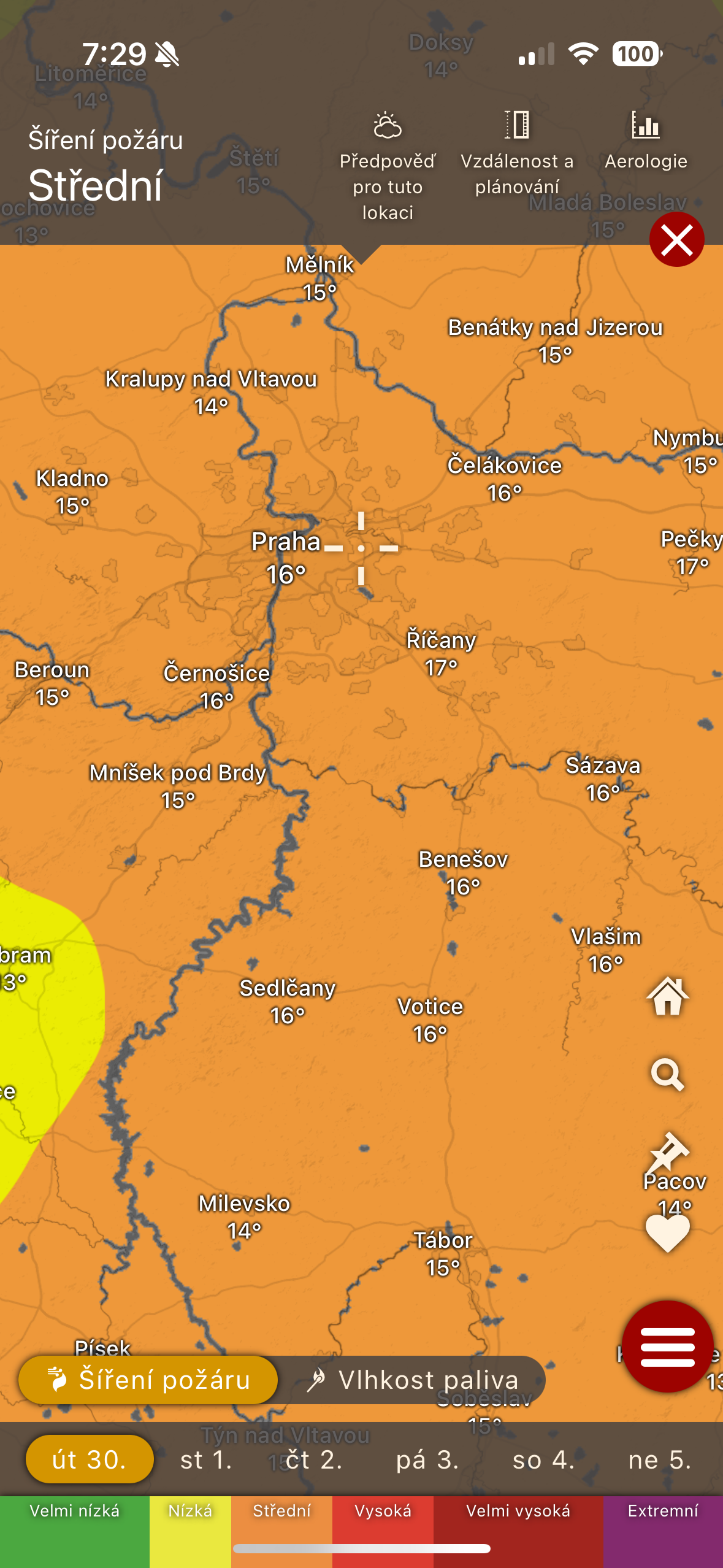

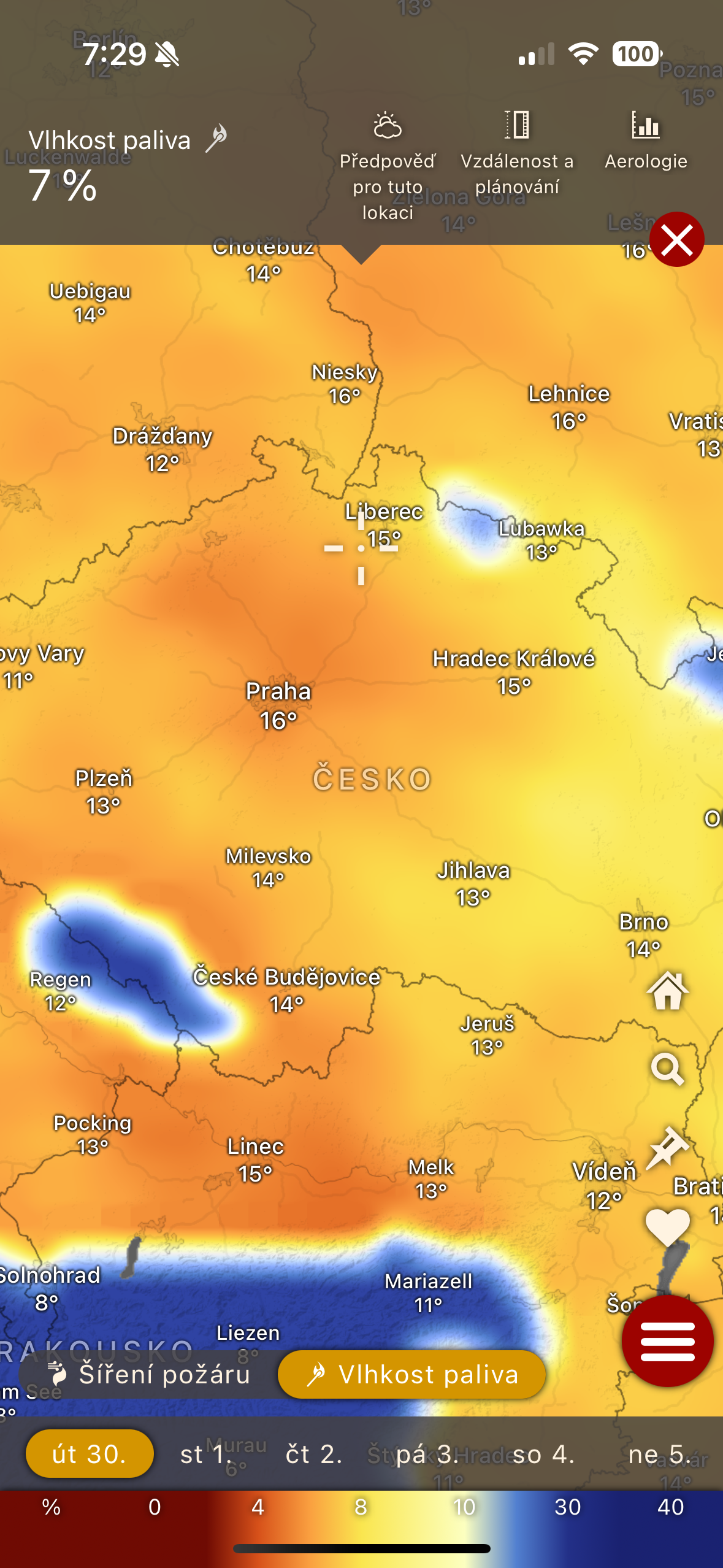
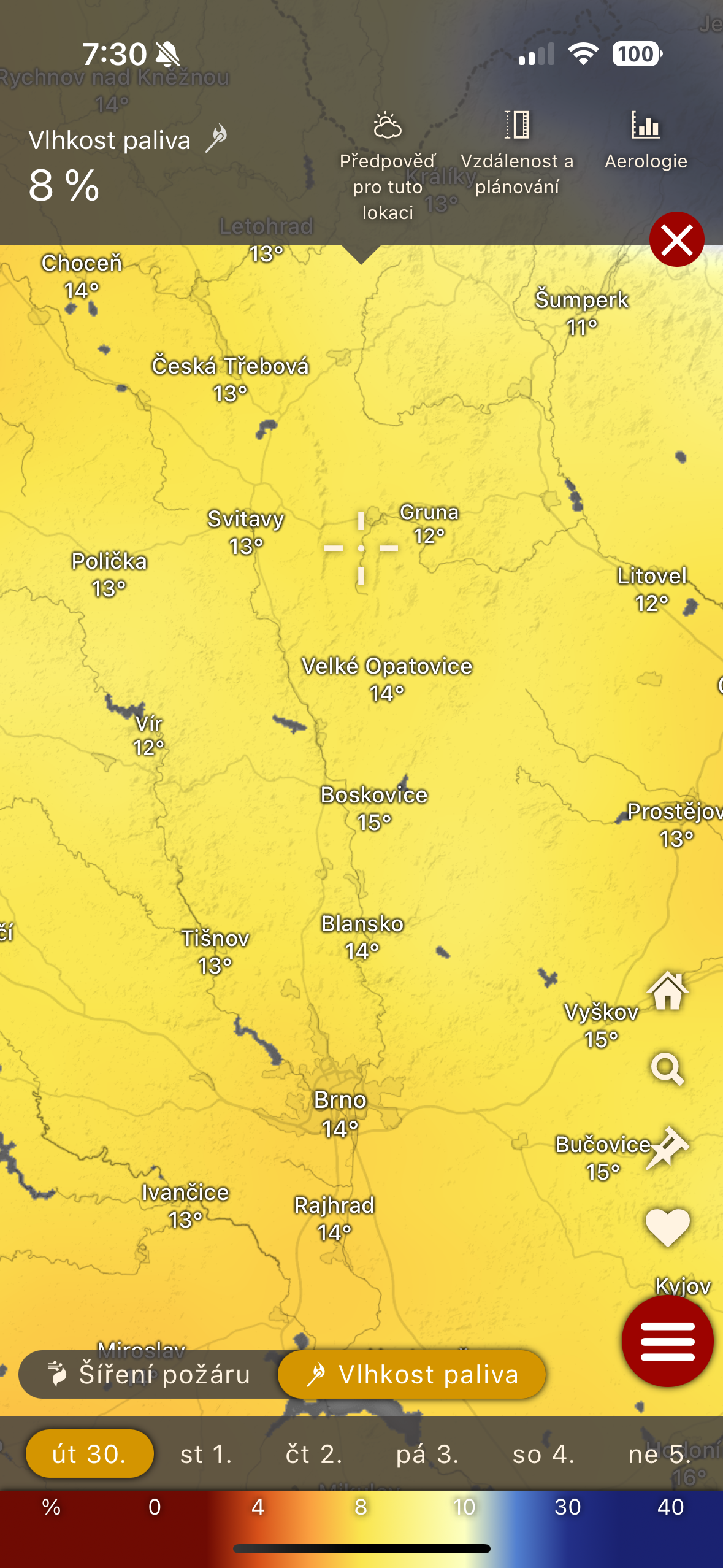
So, if you want the ability to display the layer showing the highest risk of fire spread, along with the ability to display the moisture content of the fuel (that is, the surroundings that could start a fire), Windy is the right one for you. In addition, it is free in the basic version, although it is definitely enough. So it's certainly not a bad idea to try this application, because it's quite possible that you'll be interested not only in the fire spread filter.