
Apple has started to offer new information about the traffic situation in the Czech Republic and Slovakia. They appear on the maps just as they should Google Maps For a long time, information about delays, or rather speed levels, which are highlighted by colored circles on the road and can be used to find a better route. Currently, only two different colors are available: orange, which indicates a slight delay, and red, which indicates a real traffic jam. Information about road closures and repairs has also appeared.
But the question is from where Apple Maps They take information because where there is about one car in fifteen years of traffic, it shows orange, meaning a slight delay even if you are on the road alone. Apple Maps Although it offers the possibility to add information about delays or repairs directly from users, there are so few of them for now that we sincerely hope that Apple takes data from somewhere else. Unfortunately, there is really very little information at the moment and for example in Prague there are only a few closures and nothing is being repaired, which has not happened in Prague since Charles IV. nesthello.
Gallery
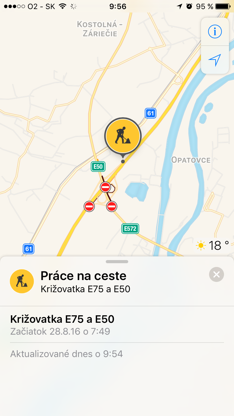

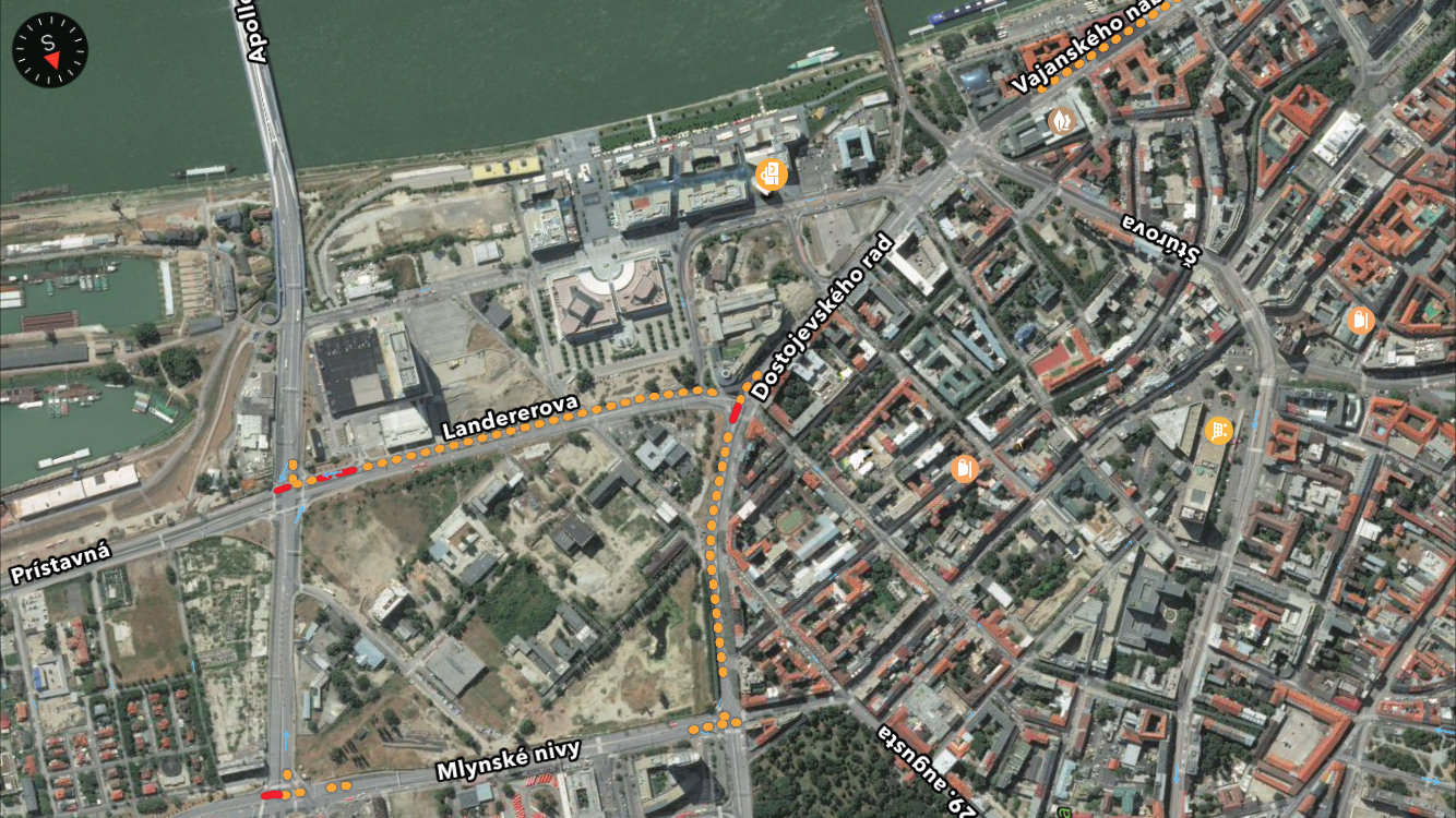
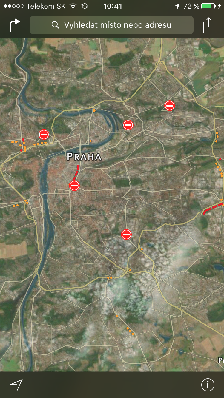
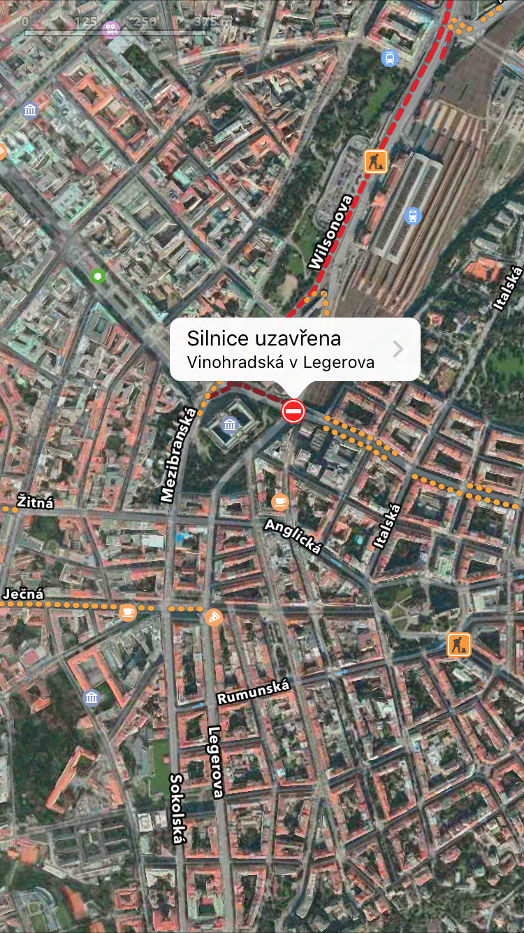
Apple is trying and is thinking of us in the Czech Republic and Slovakia, but the question is whether he will ever be able to convince users to use the tried and tested ones instead of the ones that have been around for years. Google Maps they changed saddles and started using Apple Maps, which are in their infancy not only in terms of map materials, but especially the information they provide. By the way, for the notice of this information and the sent screenshot Thank you to our reader with the nickname matbachraty!
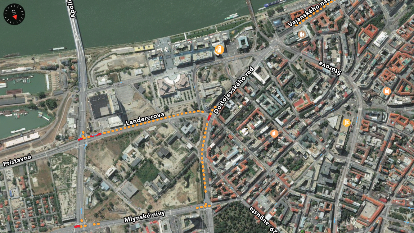











Is this news? It's already in Apple maps minialmost a year. Closures, roadworks, even accidents! And even red and orange stripes with traffic situations. Just last month, on my way back from vacation, I watched a queue form in front of me (live) on the D1, and when I reached it, it widened behind me. The navigation system extended the estimated time to reach the destination accordingly. The only thing I Apple maps probably don't count when navigating, it's speed.
What happened to me recently Apple on the maps, however, there are icons of monuments. There aren't many of them, but they are there. E.g. Prague Castle. And I also recently received a notification that Apple Prague public transport can use maps. It came directly from me Apple Notification map.
And how does this work? Since it shows me one road as impassable, even though it is passable, and conversely, a road that is not passable, it shows nothing on the maps.
Well, tooneblack...
So it's still not time to abandon Waze. Anyway, every swallow is good, and with every additional local feature, the possibility of Czech increases. Siri.
As Vicodine says … this has been on the charts for a really long time. I use it myself.
That's right, it's been there for a long time and it's been worth a fart compared to Google for a long time.
I think that Maps will never catch up with Google Maps. If only because a lot of users still don't trust them... so some Crowd Source, which works fine with Google, in Apple maps will never be right. Plus, even in the foundation and in the foundations, they falter somewhat. For example, there are a lot of new highways in Hungary, which Mapy doesn't have a clue about .. :)
agree, it's been there for quite a while. The functionality is not as good as with Google Maps, but for me it is quite satisfying
And does anyone know how to stop the navigation system from trying to read out place names? Until that's done, I won't be using these maps.
On the contrary, I have a very positive experience with how they are Apple maps processed traffic situation and closures. The data is drawn from, among other things, TomTom, I don't know if from another source. Otherwise, it has happened to me several times that Google maps and Hero showed the passage of the road without any problem, but Apple the maps had a road closure marked that was actually there. For example, when Průmyslova Street was closed due to bridge repairs, Apple maps had it marked and Google didn't. I have encountered a similar problem 3 times already and it was worth looking into Apple maps I always do this when planning longer trips.
Otherwise u Apple the map really bothers me how in landscape mode there is a thin line with a marked route and many times it is not even possible to tell where to turn on the iP SE display. When I went on vacation and drove using these maps, I cursed a lot.
I'm looking at your site today on my iPhone 6 and what I see is horrifying. ProI mean, it's your site, but how can you like something like that? It looks terrible! That's my opinion.
On the other hand, I like the mobile version. It's just that the ad and the articles blend together a bit and it's harder to tell what's what.
You all complained that we don't have a mobile version and when we do it for you (it's disadvantageous for us and we have a lot of complications because of it), you complain too.
V LsA they discovered America.
Thanks to the map background Apple Maps is taken over by Tom Tom, they are Apple maps much better than before Google Maps... The only thing is that it's time to download them to your iPhone and work offline...
Waze, no one can catch up :)